Aerial mapping, built for GIS.
We turn drone-captured site data into georeferenced maps, terrain models, measurements and GIS-ready deliverables for decisions on the ground.
Scope a mapping project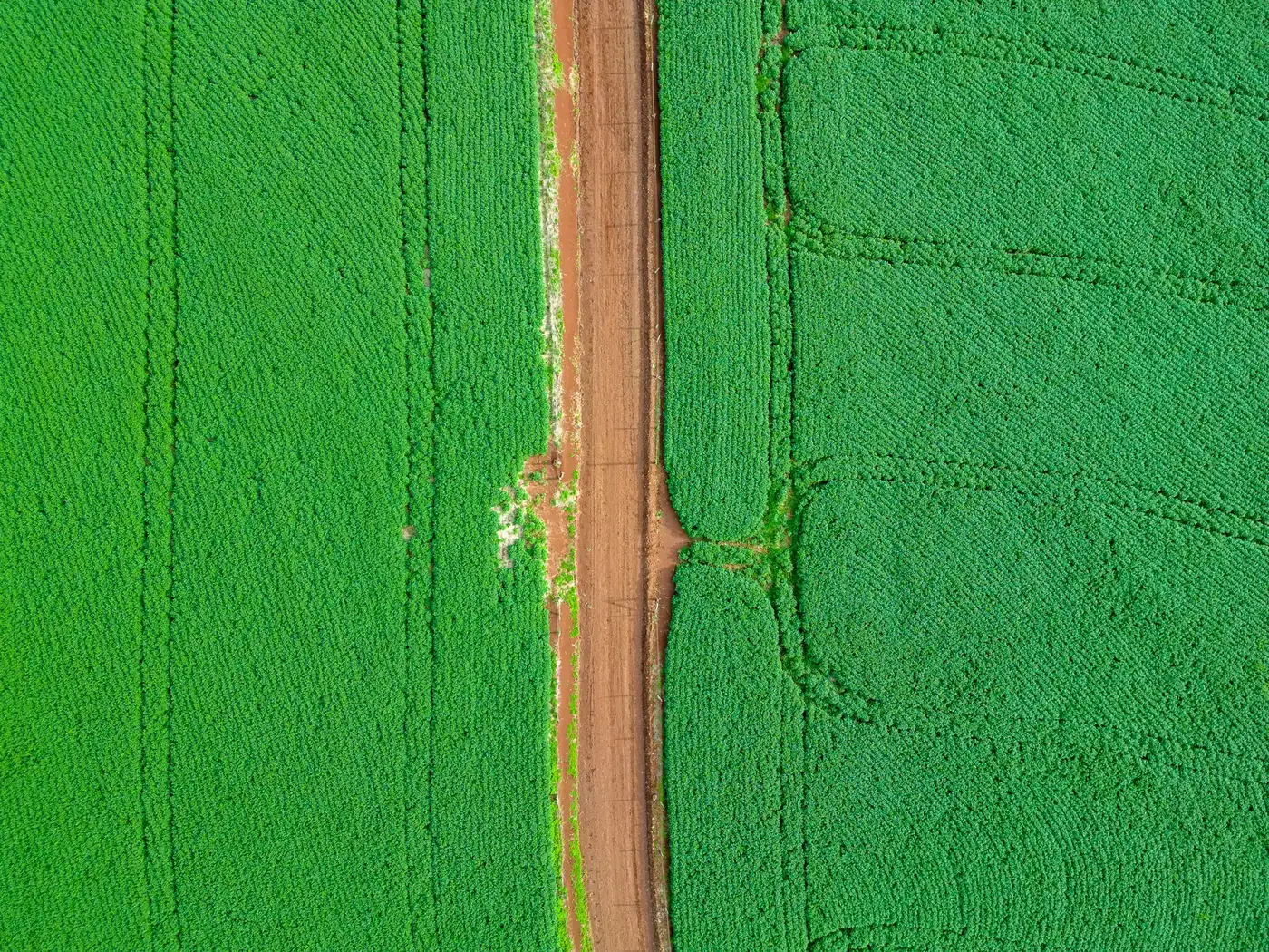
One aerial view. Many ground decisions.
The purpose of the project shapes the flight plan, processing workflow and GIS handoff.
- AgricultureField mapping, crop monitoring, plant-health assessment and spatial inputs for precision agriculture.
- ConstructionBase mapping, progress documentation, earthwork review and stockpile measurement across active sites.
- MiningTerrain mapping, volume assessment, progress records and safer observation of difficult-to-access areas.
- InfrastructureMapped visual records for roads, bridges, buildings, towers, solar installations and industrial facilities.
- Land & topographyOrthomosaic, elevation and contour outputs prepared for planning, engineering context and site documentation.
- Disaster & environmentTime-sensitive aerial mapping for flood extent, damage assessment, change detection and environmental monitoring.
From imagery to GIS-ready intelligence.
Choose the information you need before we choose how to fly and process the site.
- Georeferenced orthomosaicsGeometrically corrected aerial imagery assembled into a consistent map of the surveyed area.
- 3D models & elevationThree-dimensional site models, digital surface or elevation models, and contours where the agreed method supports them.
- Volume calculationsStockpile, excavation or earthwork measurements calculated against agreed boundaries and reference surfaces.
- GIS layers & map filesAgreed raster, vector and tabular outputs prepared in the required coordinate reference system for use in your GIS or planning workflow.
- Site documentationDated and organised aerial records for progress tracking, inspection, comparison and project communication.
Coordinate reference system, ground control, expected accuracy, coverage, resolution, file formats, schedule and limitations are confirmed during scoping. Deliverables are not represented as a cadastral or legal survey unless expressly qualified and contracted for that purpose.
A mapping workflow built around the handoff.
Field capture is the beginning; a useful result must fit the software, team and decision waiting downstream.
- Define the use
Share the site boundary, decision, accuracy need, coordinate system, deadline and preferred GIS or CAD format.
- Review the site
We consider access, airspace, permissions, terrain, people, weather, vegetation and the control strategy.
- Plan & capture
Flight paths, coverage, overlap and field records are planned around the agreed mapping output.
- Process & check
Imagery is processed into the selected map, model or measurement and reviewed against the agreed method.
- Deliver & explain
You receive the agreed GIS-ready files with reference information, scope notes and relevant limitations.
Carry the mapping brief into your project discussion.
Use the guide to align on boundaries, control, accuracy, capture, processing, GIS formats, deliverables, and limitations before fieldwork.
Precision Airborne brief · PDF · 3 pages